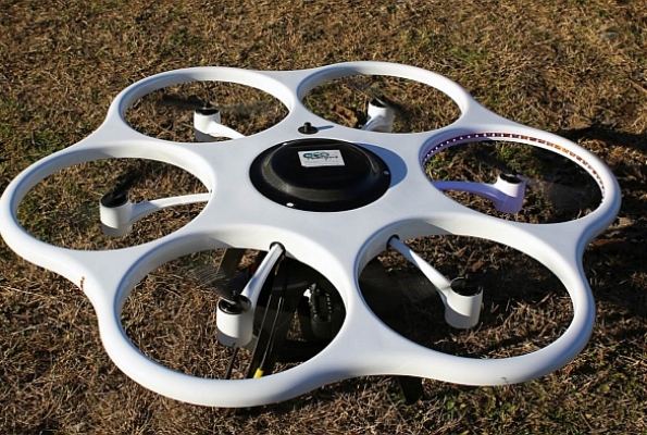
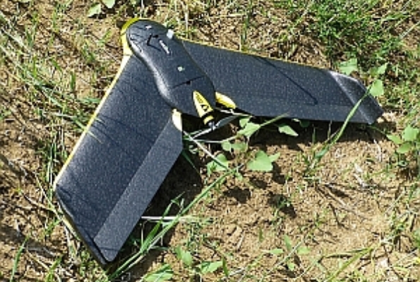
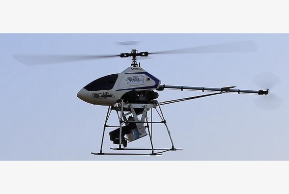
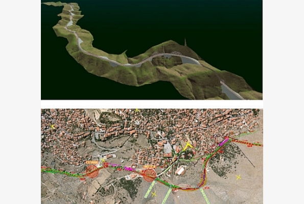
UAVs (Unmanned Aerial Vehicles) may be the most widespread and versatile solution for aerial mapping. In the past few years, technological progress has led to many different types of UAVs, capable of supporting various sensors, which can guarantee high performance even in the most demanding conditions.
GeoAnalysi S.A. already has different UAVs and all kinds of sensors, thus is able to offer complete solutions in an easy, fast and low cost manner.
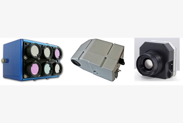
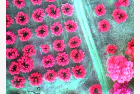
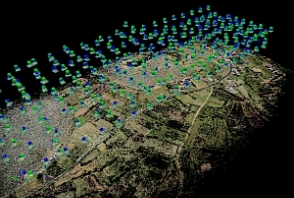
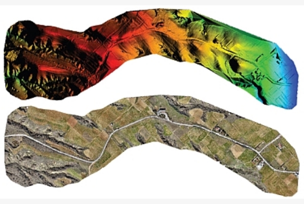
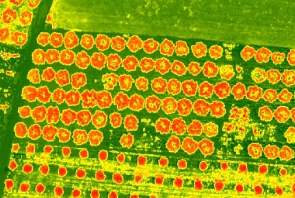
Integrated GPS / INS systems make navigation easy and safe, while the high resolution sensors ensure highly accurate products. Features’ diversity of UAVs and sensors make possible the coverage of small and large areas, with low and higher flights at accessible areas or not, acquiring all kinds of images and video. Indicatively, it is possible to achieve mapping scale from 1:20 to 1:2000.