Flight planning is based on the requirements and the desired final products, whether these are about simple images, or products that require processing.
…simple images
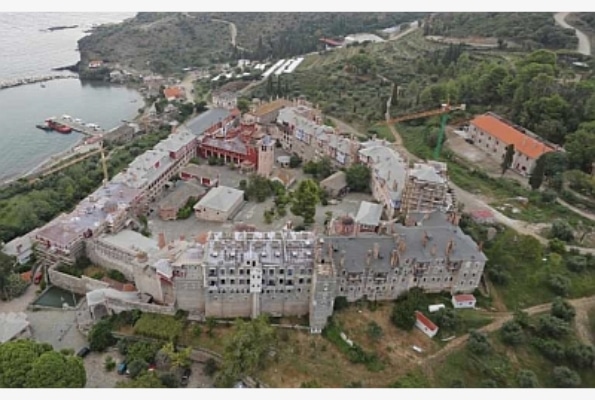
High resolution digital imagery from various angles (vertical and panoramic photos, buildings façades imaging)
Systematical imaging for monitoring of phenomena and operations
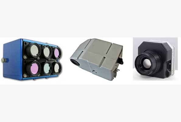
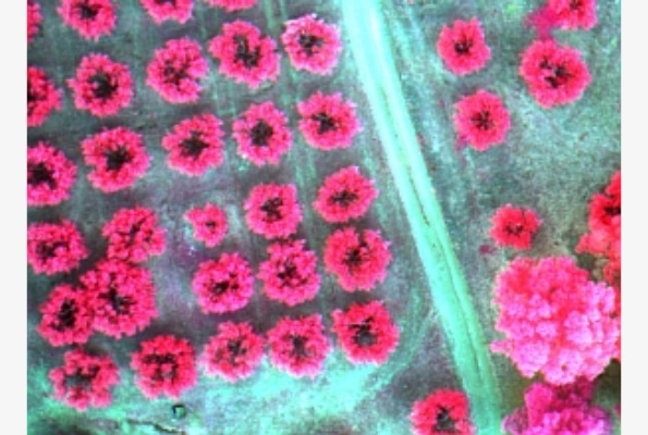
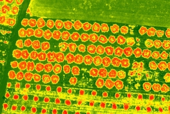
Thermal, hyperspectral images for detections of various phenomena
Real color and thermal
video of high resolution
… after processing
Colored orthophotos and orthophoto-maps in digital or printed form
Multispectral, hyperspectral and thermal orthophotos
Vegetation indices and thermal variation maps
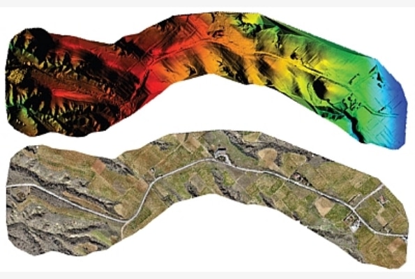
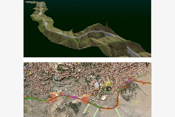
Detailed topographic charts and vector plans
Digital terrain models (DTM) and contour lines
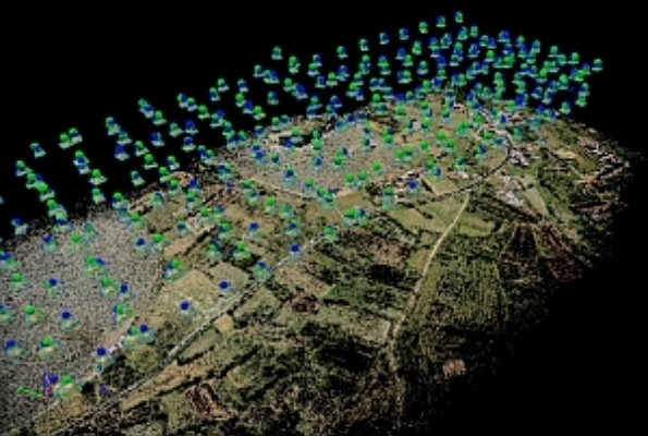
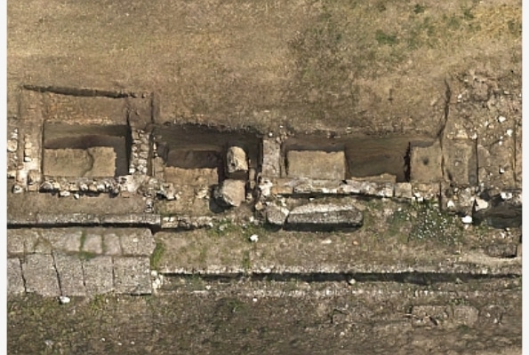
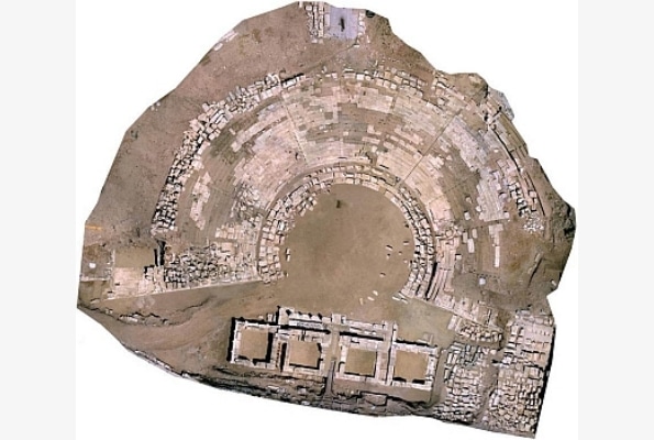
3D point clouds
Real textured 3D models
3D models textured with thermal or multispectral images