Home » Activities » Surveying
Possibilities | Experience
The field of topographical studies is the pillar of the company and is what has made it one of the prominent companies in the field.
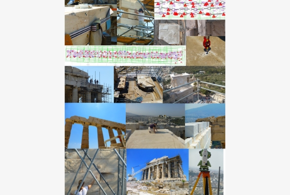
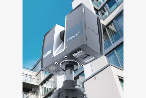
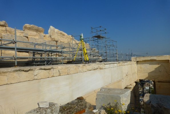
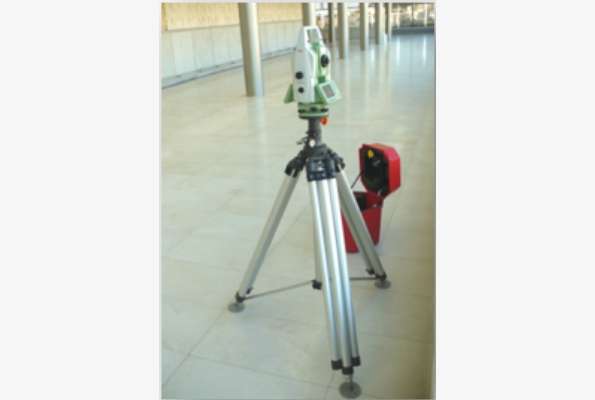
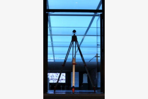
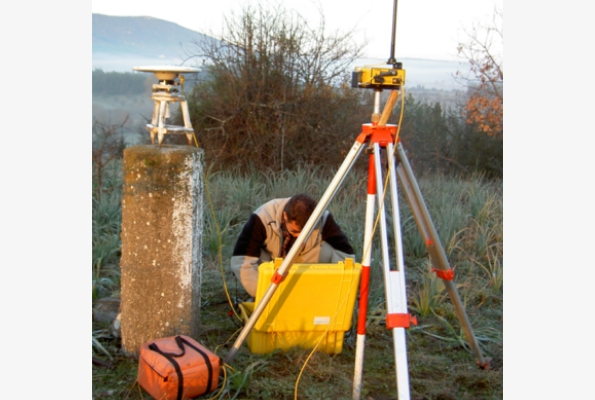
GEOANALYSIS S.A. has state-of-the-art surveying equipment consisting of high-precision surveying instruments (Geodetic Stations), (dual-frequency GPS) as well as several special surveying equipment such as ground-based Lidar scanners, airborne scanning sensors, and multispectral sensors on properly configured flying platforms UAVs, Mobile Mapping and SLAM systems, as well as portable ground scanning systems of multiple imaging camera clusters. The available equipment also includes hand-held laser scanning systems, which, in combination with specialized software, create 3D point clouds and surface models (interior and exterior), enhancing the services and products provided in combination with BIM requirements. (Building Information Management). Utilizing its equipment, human resources, and many years of experience, the company covers a wide range of impression services by preparing:
- Trigonometric nets – geodetic – installation, measurement
- Topographical 2D/3D ground surveys (indoor and outdoor)
- Control and monitoring networks of micro movements
- Determinations – measurements of photostable, control points
- Aerial photographs
- Underground Imprints
- Linear – on the move – impressions (Mobile Mapping)
- Cadastral impressions
- Earth Reflections
- Implementation Acts – City Plans
- Imprints of infrastructure networks and technical projects