
Home » Research & development » GeoInQuAIry

Project Title: Geospatial Intelligent Querying with AI Technology
The objective of the GeoInQuAIry research project is the development of an advanced platform for the integration and intelligent management of heterogeneous geospatial and enterprise information. Specifically, the project involves the collection and analysis of massive volumes of structured and unstructured data originating from historical archives spanning several decades, as well as their interconnection with external public data sources.
These data are utilized to create a unified information repository and establish a dynamic Knowledge Base aimed at revealing hidden semantic and spatial relationships. At the same time, advanced Artificial Intelligence (AI) systems are integrated for the processing, combinatorial analysis, and in-depth understanding of the information.
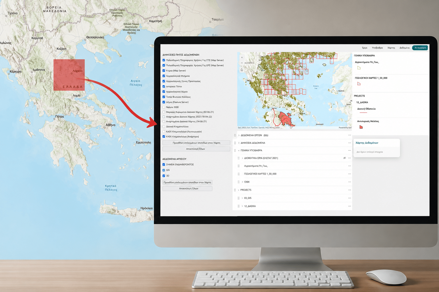
Interaction with the entire dataset is achieved through an intelligent digital assistant which, in full integration with Geographic Information Systems (GIS) environments, enables spatial searches and information retrieval through natural language, while instantly visualizing the results on dynamic maps.
The purpose of the research project is to establish a methodology for the reliable provision of documented knowledge, minimizing the inaccuracies of Artificial Intelligence systems and contributing to the full interoperability of enterprise information.