Home » Research & development » Model Helicopter
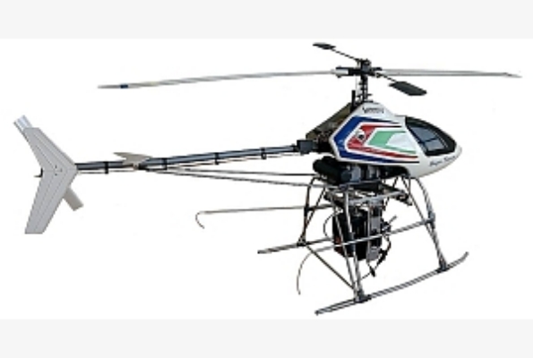
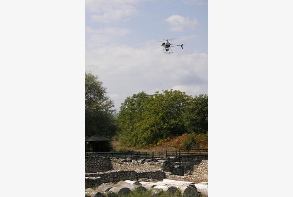
PAVE 97 BE 2 (radio-controlled helicopter)
Use of Remotely Controlled Aerial Photography and Automation of Photogrammetric Surveys with Applications in Archaeological Excavations, Monument Surveys, and Screening Industries
Research program PABE 97 BE 2, co-financed by the General Secretariat of Research and Technology, Ministry of Development within the framework of the Industrial Research Development program.
Collaborating body: Polyline S.A.
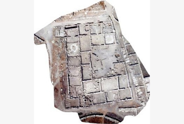
Archaeological excavations require very good and detailed mapping through various methods and practices. The traditional techniques applied by archaeologists have limited accuracy are also time-consuming and require a large number of workers. Based on these problems, the idea of the project was the development of a methodology for the rapid and effective mapping of archaeological sites, excavations, and/or monuments in general, using modern techniques, which were mainly based on automated digital photogrammetry.
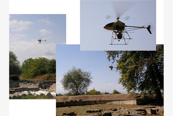
The methodology that was developed was based on the combined use of advanced technologies and led to the realization of an aeromodelling helicopter. With the implementation of the research project, it became possible to capture archaeological excavations in real time, since within a short time from the moment of the capture, the final products were produced (3D models, digital models of soil and pits, line drawings, reduced images, etc.).
The methodology is adapted to several applications that require fast and accurate mapping without any contact with the object, such as the mapping of cultural goods, the construction and maintenance of ships, etc.