Home » Activities » Forestry » Experience

Possibilities | Experience
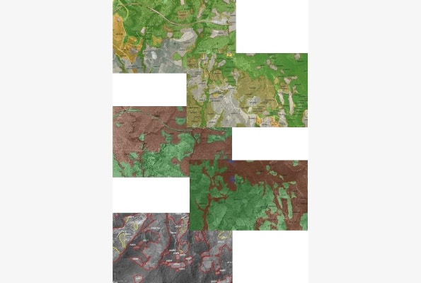
- Forest Maps in Regional Unit of Kozani, of Western Macedonia Region, except for pre- Kapodistrian Local Authorities of: St. Christoforos, Kariditsa, Kozani, Koilon, Krokou, Lefkovrisis, Olimpiados, Perdikas and Proastiou (Contract D6 – 03) within the National Cadastre program (Contracting Authority: KTIMATOLOGIO SA ) (2014 – 2017)
- Forest Maps in Regional Unit of Chalkidiki, of Central Macedonia Region, except for pre- Kapodistrian Local Authorities of: St. Nicholas, Nikiti, Polygyros and Sarti (Contract D4 – 02) within the National Cadastre program (Contracting Authority: KTIMATOLOGIO SA ) (2012 – 2014)
- Forest Road construction for access roads at the pillars for the construction of 400Kv plant “Corinth – Megalopolis length of 50 Km (2012) (Contracting Authority: Independent Power Transmission Operator (IPTO or ADMIE) S.A.)
- Forest Road construction for access roads at the pillars for the construction of 400Kv plant” Patra – Megalopolis length of 150 Km (2010 – 2011) (Contracting Authority: Independent Power Transmission Operator (IPTO or ADMIE) S.A.)
- Forest maps for the Local Authorities of Avaton, Erasmio, Xanthi, 1999-2006 (Contracting Authority: Cadastre and Mapping Agency of Greece/ KTIMATOLOGIO S.A.) (1996 – 2006)
- Forest Maps for the Local Authorities of Veria, St. Barbara, Vergina, Palatitsia, and Tripotamos of Imathia Prefecture (Contracting Authority: Cadastre and Mapping Agency of Greece/ KTIMATOLOGIO S.A.) (1996 – 2006)