GeoAnalysi S.A. prepares complex transportation and traffic engineering designs and support tasks (Geological, Hydraulic, Environmental, and Surveying), ensuring the successful design through the compliance with road safety regulations, proper feasibility study, attainment of environmental protection and meeting users’ needs through targeted interventions.
In order to draw up a road work design, the company uses modern instruments and methods and utilizes all the available data (Base Maps – Maps – Digital Elevation Models (DEMs) – Environmental – Land Use Data, Geophysical and Geological Data etc).
During the preparation of a transportation engineering design, GeoAnalysis SA provides the following support services:
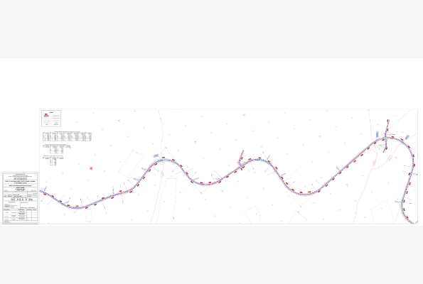
- Mapping
- Drawing up of road cadastre and tables of ownership percentages
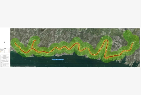
- Geological studies
- Sewerage, flood control and drainage studies
- Environmental Impact Assessments
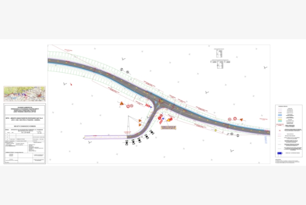
- Traffic signing studies
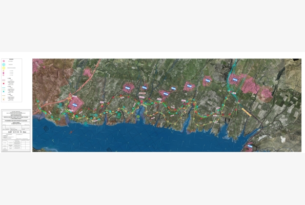
- Development of Geographical Information System (GIS)
- Phytotechnical Surveys
- Photographic documentation through UAV flights
- Production of orthophotomaps using UAV and satellite data
- Creation of Digital Surface Models (DSM) using terrestrial laser scanning or UAV images
Drawing up of tender dossiers