Home » Activities » Agriculture

Possibilities | Experience
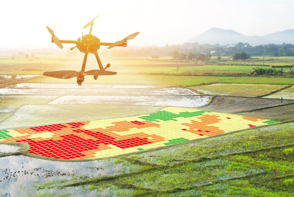
Agriculture is an area that must be under constant surveillance because of its significance as it one of the main sectors of National economy. New technologies (UAVs, Hyperspectral – Thermal sensors, High resolution multispectral satellites) in conjunction with the possibilities of remote sensing and Geographic Information Systems (GIS) can be the tools to develop an integrated system for monitoring and managing rural environment.
GeoAnalysi S.A. expands its activities in the agricultural field and offers Precision Agriculture services by using high infrastructure and expertise. These services significantly contribute to:
- the environment protection of (reduced use of pesticides and fertilizers, optimum use of irrigation water, etc.) and the sustainable management of natural resources.
- the reduction of production costs through inputs’ reduction (irrigation water, fertilizers, pesticides, etc.).
- the optimization of agricultural yields compared with the capacity to identify each region.
- the optimization of quality and nutritional value of agricultural products.
Specifically, Precision Agriculture enables:
- field zone mapping with different needs (drought and agroclimatic zones).
- monitoring of physiological condition of crops, water stress estimation and quantification of irrigation needs.
- forecasting and monitoring crop stress and diseases.
- damages’ assessment caused by of natural disasters
- estimation of crop production potentials
- crop change/reformation – alternative crops (e.g. bio-energy plants)