Move & Map

“Multifunctional, Portable System for the collection and processing of terrestrial topographic, cartographic and lidar data for high precision applications” (Move & Map). 
 
The project is Co-financed by Greece and the European Union (European Regional Development Fund) – EPANEK 2014-2020 Operational programme Competitiveness Entrepreneurship Innovation.
 
Project Code: Τ1ΕΔΚ – 0046
Start date: 08-May-2018 
Duration: 36 months
 
Scope
The scope of “Move&Map” is to create a multifunctional on-the-ground data collection system (topographic, cartographic, photogrammetric and lidar data), link these data with aerial mapping data (UAV) and manage them in a user-friendly environment.
 
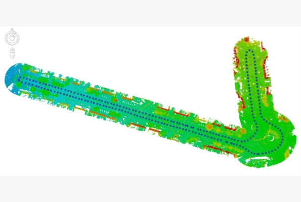
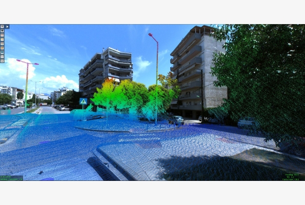
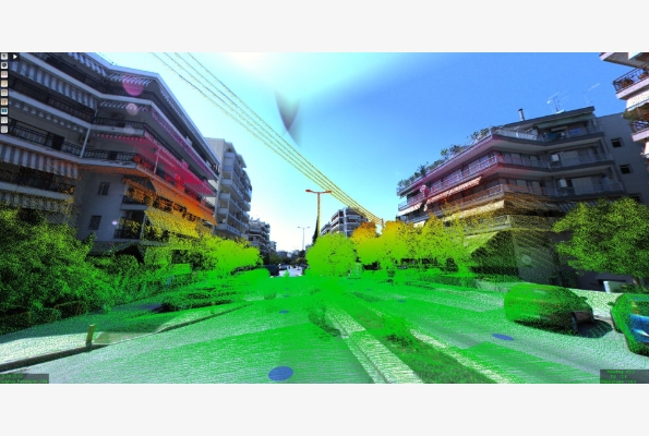
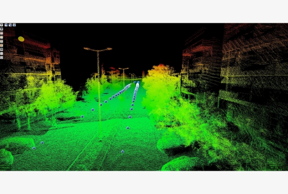
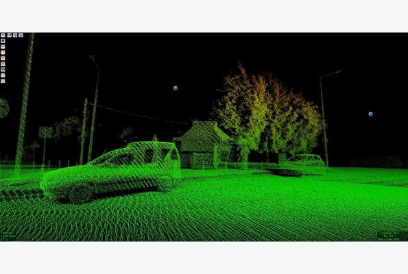
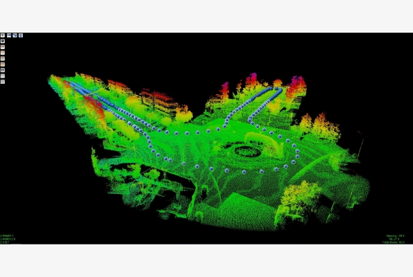
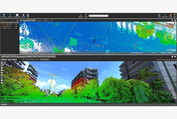
The methodology and data that will be generated by the implementation of the program, can be used in a variety of applications and scientific fields that are constantly gaining ground nowadays and which need high precision data in a 3D environment (Geomatics, VR, AR, BIG DATA, BIM, city thermal models, etc).
espa