Home » Activities » Remote Sensing
Possibilities | Experience
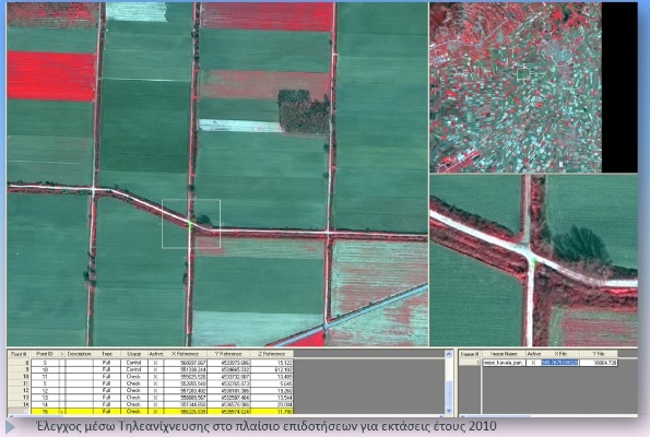
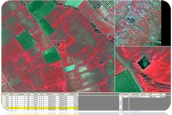
Remote Sensing analyzes and interprets image information from various sensors. Nowadays, considering the rapid development of UAVs and the technological progress of satellites, remote sensing is able to provide even more, fast and easily.
An increasing number of satellites (meteorological and environmental), equipped with high resolution sensors able to acquire multispectral data, are already launched or planned to be. This significance progress broadens and strengthens the application fields of remote sensing.
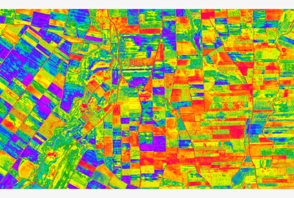
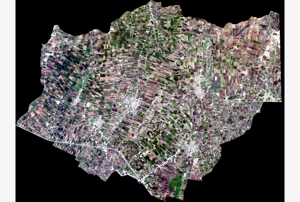
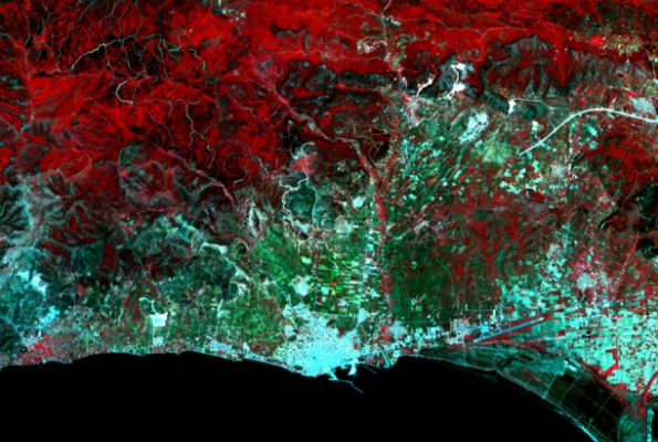
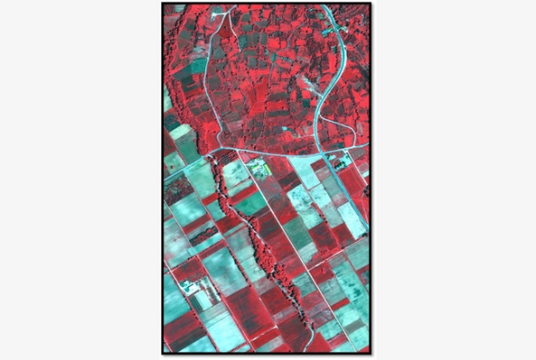
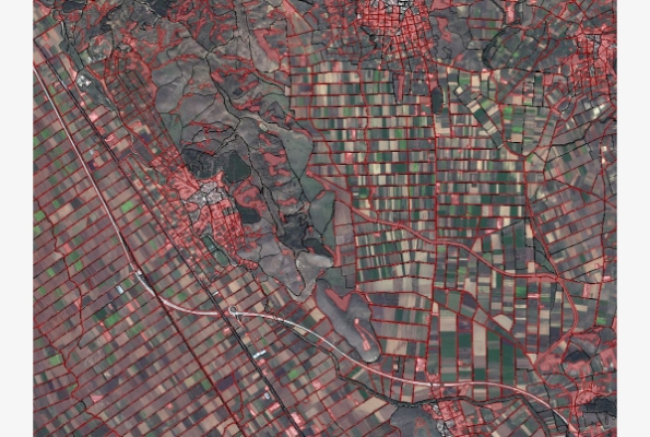
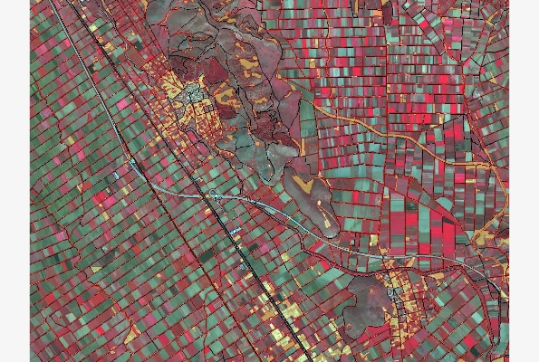
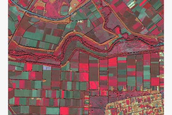
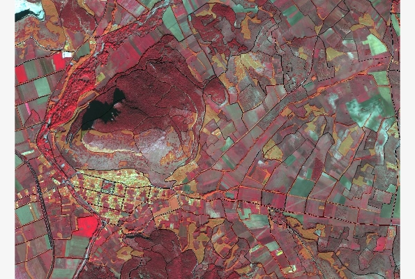
Among the basic applications, land use and land cover mapping, calculation of indices and models that contribute to monitoring and management of rural and urban environment, are included. Apart from these, remote sensing, satellite or aerial from low altitude images, is an important tool in many fields some of which are briefly presented just below:
- Generation of high resolution orthophotos and base maps with natural colors.
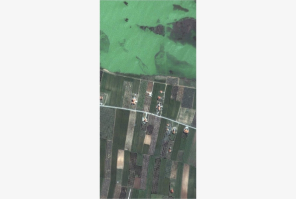
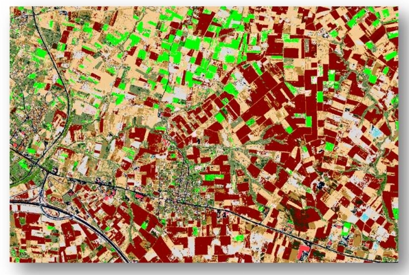
- Crop classification, estimation of vegetation indices, crop production assessment and forecasting.
- Monitoring, assessment, management of natural disasters (fire, flood, drought, etc.).
- Tracing of archaeological sites, buildings and various buried structures beneath soil surface.
- Generation of digital terrain models (DTM).
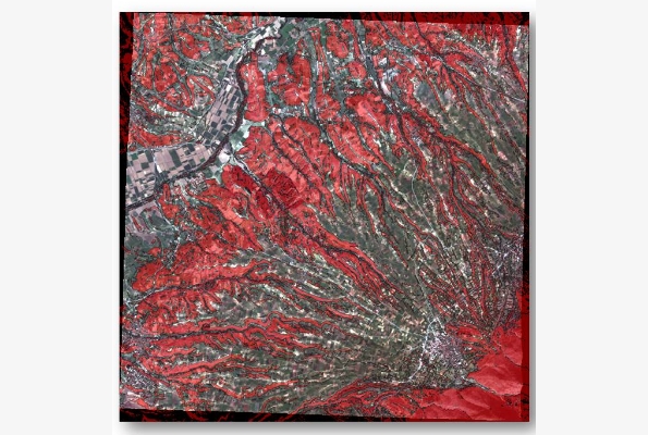
- Mapping of geological formations, geomorphological analysis of relief.
- Mapping of geological formations, geomorphological analysis of relief.
- Sea pollution monitoring.
Estimation of soil humidity, water balance parameters and components.