Home » Activities » Photogrammetry
Possibilities | Experience
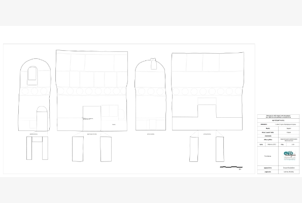
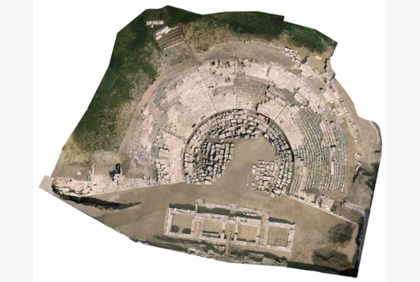
Photogrammetry retrieves the required information through images and as result the time spent in the field and the costs are dramatically reduced. Its products are widely used in many applications such as cadaster, transportation works, underwater surveys and archaeological or architectural studies.
GeoAnalysi S.A. was the first company in Greece that passed to digital photogrammetry, acquiring in 1993 a digital photogrammetric station. Today, the company’s photogrammetric department is staffed with highly trained staff and has the necessary infrastructure being able to provide high quality services and products.
Specifically, the department of photogrammetry has:
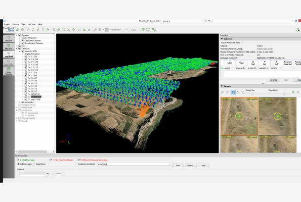
- Digital photogrammetric stations (Intergraph ZI and Trimble INPHO)
- High-resolution digital cameras (Canon 5D, 6D, Nikon, Panasonic Lumix etc.)
- Professional photography equipment (lighting, tripods, bases, etc.)
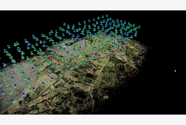
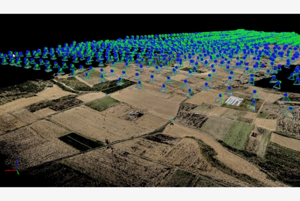
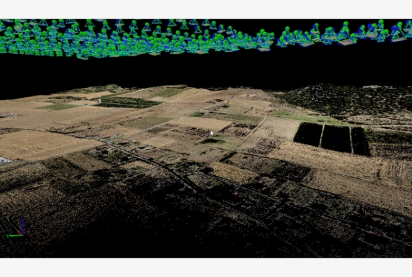
- Hitech UAVs for aerial photography
- The required surveying equipment for additional works (Total Stations and GPS for gcps’ measurements, Laser scanners for DSM etc.)
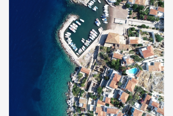
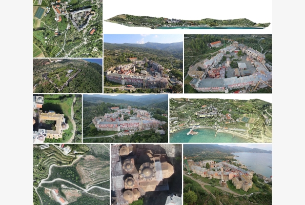
GeoAnalysis SA, having all the required means, provides air and terrestrial photogrammetric services. When needed, it undertakes the photography (aerial or terrestrial) as well. Considering the processing phase and final derivatives, the company provides all traditional photogrammetric products and products required in special applications. They are available:
- Topographic charts produced via stereo viewing
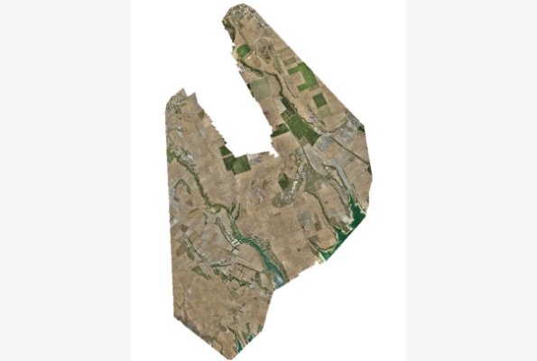
- Digital color orthophotos and orthomaps of various scales
- Digital models, 2.5 D terrain models from aerial images or 3D surface models of buildings or objects from terrestrial images